

Horseshoe Bend is well-known for its u-shaped meander of the Colorado River.
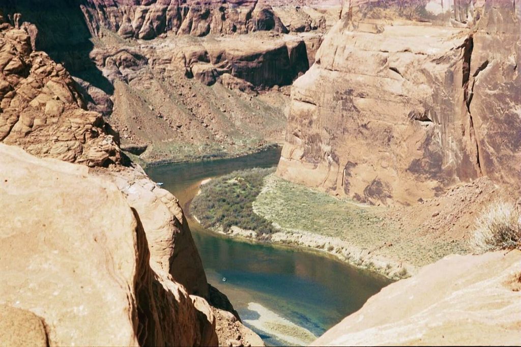
The Colorado River winds its way around the rocks at Horseshoe Bend. I’m gonna admit that I didn’t get the “money shot” of the entire “U” because that required standing on the edge of the cliff — a long way straight down with no guardrails. I stayed a safe 6 feet back from the edge, which led to more limited vistas.
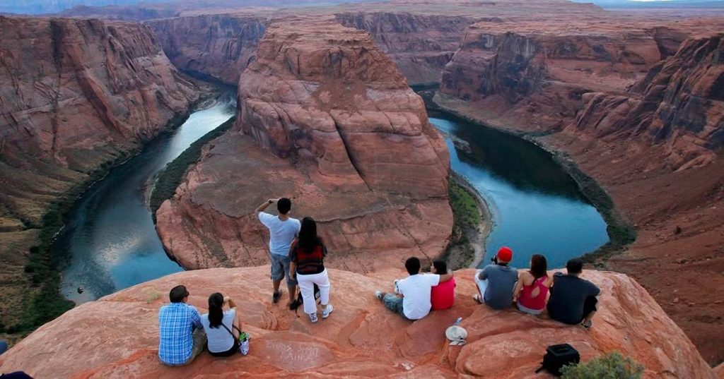
Here’s a shot from the internet to show what I mean. I wasn’t brave enough to stand right at the edge of that 1,000-foot (305m) drop. A fenced overlook area was created by the National Park Service in 2018, but that was long after my visit.
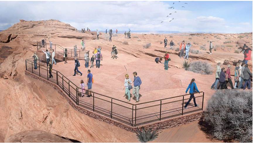
Here’s a picture of the overlook area. As I understand it, the original overlook area in the pictures above is also still accessible.
Horseshoe Bend is located 7km south of the city of Page, Arizona. It is part of the Glen Canyon National Recreation Area. Reaching Horseshoe Bend requires a 1.5 mile (2.4km) round-trip hike from the trailhead. The City of Page charges a $10 parking fee at the trailhead. Because this is a desert, make sure you bring water with you and protect yourself from the sun. The trail is wheelchair-accessible.
Other attractions in the area are the famed orange rocks of Antelope Canyon and the sinuous curves of The Wave rock formation. The Grand Canyon is south of here.
April 7, 2003